New copies of the Society’s publications that are available to purchase are shown below, the oldest being Berkeley Square to Bond Street, The Early History of the Neighbourhood published in 1952.
Second-hand copies of some 1951-2001 publications are listed here. Please contact Roger Cline to ascertain availability and cost.
CUSTOMS REMINDER
The shipping charge does not include payment of any charges that may be applied by customs authorities. Payment of any such charge is the purchaser’s responsibility.
-
 Read more
Map of Elizabethan London, formerly attributed to Ralph Agas
£
-
 Read more
Matthew Merian’s View of London, 1638
£
-
 Read more
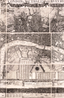
Morden and Lea’s Plan of London, 1682
£
-
 Read more
Plan of Nevill's Alley, Fetter Lane, 1670
£
-
 Read more
Plan of the Duke of Bedford's Estates, 1795, from Bloomsbury to the river
£
-
 Read more
Plan of the Manor of Walworth and Parish of Newington, Surrey, 1681
£
-
 Read more
Plan of the Parish of St Mary, Kensington, 1822
£
-
 Read more
Plan of the precinct (eastern part) of the Hospital of St Katherine by the Tower, 1685
£
-
 Read more
Plan of the precinct of St Bartholomew's Hospital, c. 1617
£
-
 Read more
Roads out of London, from Ogilby’s “Britannia", 1675
£
-
 Read more
Rocque’s Survey of London
£
-
 Read more
Rocque’s Survey of London
£
-
 Read more
Rocque’s Survey of London
£
-
 Read more
Rocque’s Survey of London
£
-
 Read more
Rocque’s Survey of London
£
-
 Read more
Rocque’s Survey of London, 1746
£
-
 Read more
Rocque’s Survey of London, 1746
£
-
 Read more
Seven Drawings of London Bridge by E. W. Cooke
£
-
 Read more
Seven London Views by Deceased Artists
£
-
 Read more
Seven More London Views by Deceased Artists
£
-
 Read more
Seven Unpublished Drawings by Hollar:
£
-
 Read more
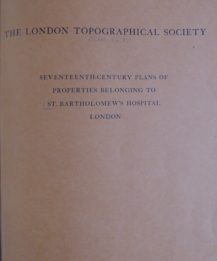
Seventeenth-century Plans of Properties belonging to St Bartholomew's Hospital London
£
-
 Read more
Seventeenth-century Plans of Properties belonging to St Bartholomew's Hospital London
£
-
 Read more
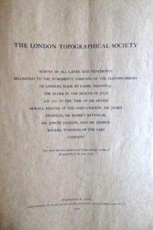
Survey of all Lands and Tenements belonging to the Worshipful Company of Clothworkers of London, July 1612
£
-
 Read more
Survey of all Lands and Tenements belonging to the Worshipful Company of Clothworkers of London, July 1612
£
-
 Read more
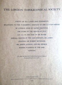
Survey of all Lands and Tenements belonging to the Worshipful Company of Clothworkers of London, July 1612
£
-
 Read more
Tallis’s Plan of Bond Street
£
-
 Read more
The City of London, showing Parish Boundaries prior to the Union of Parishes Act, 1907,
£
-
 Read more
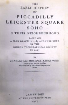
The Early History of Piccadilly, Leicester Square, Soho and their Neighbourhood
£
-
 Select options
This product has multiple variants. The options may be chosen on the product page
The Kentish Town Panorama drawn by James Frederick King
£10.35