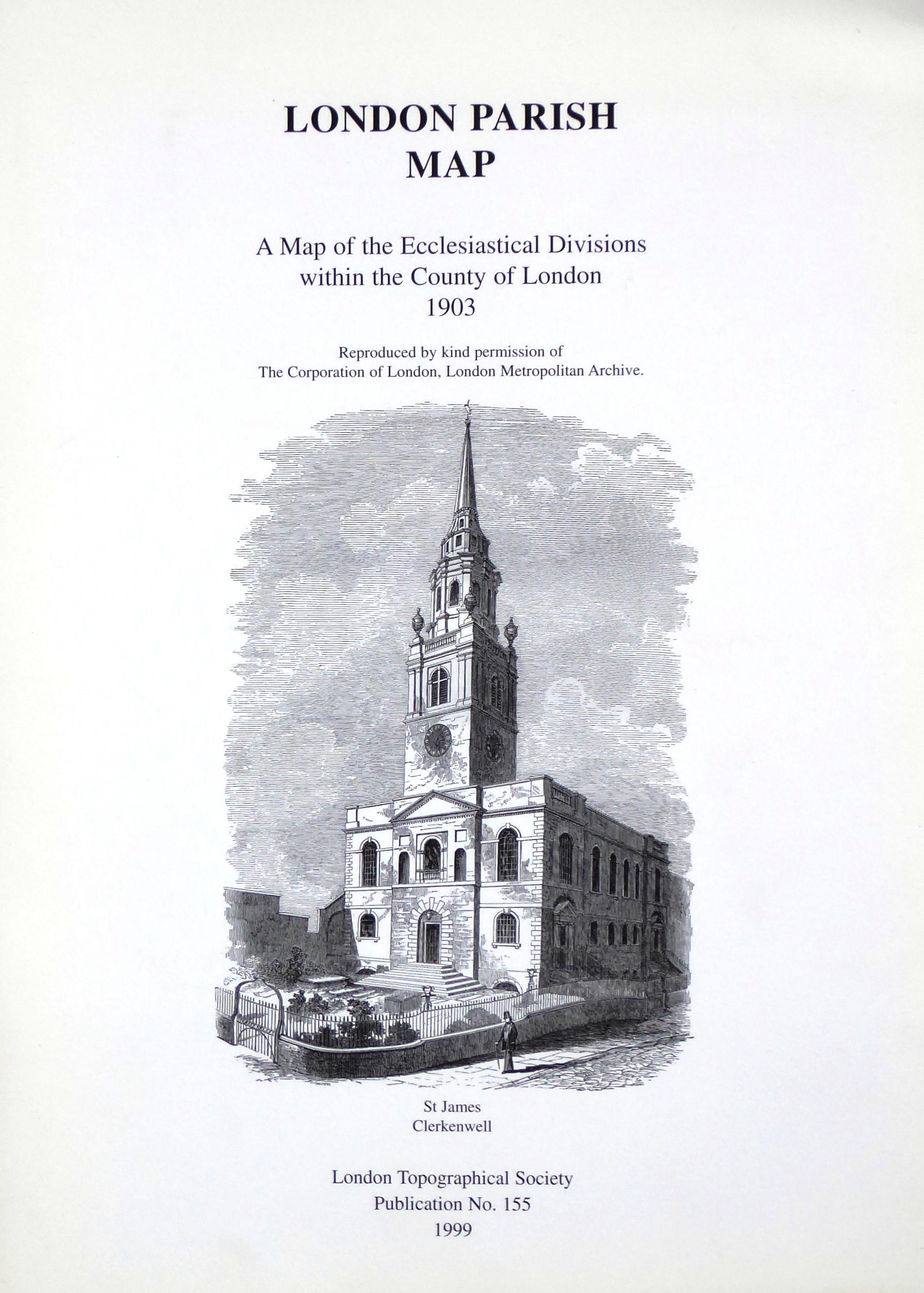
A Map of the Ecclesiastical Divisions within the County of London 1903
with introductory notes by Simon Morris
Sorry, this publication is no longer for sale
£4.95
The map of the Ecclesiastical Divisions in the County of London was published in 1903 by Edward Stanford and is one of a series of maps showing the administrative divisions of the County of London in 1888. The map shows individual ecclesiastical parishes in red while rural deaneries, which comprised groups of parishes, are indicated by the underlying tint. The parishes are, of course, Church of England; neither dissenting nor Roman Catholic parishes then enjoyed any official status.
Dimensions are 99 x 67 cm. The dimensions listed below are the shipped size.
Publication no: 155
Format: Folded sheet
Publication date: 1999
Size: 33 × 35 × 1 cm
Weight: 113g
