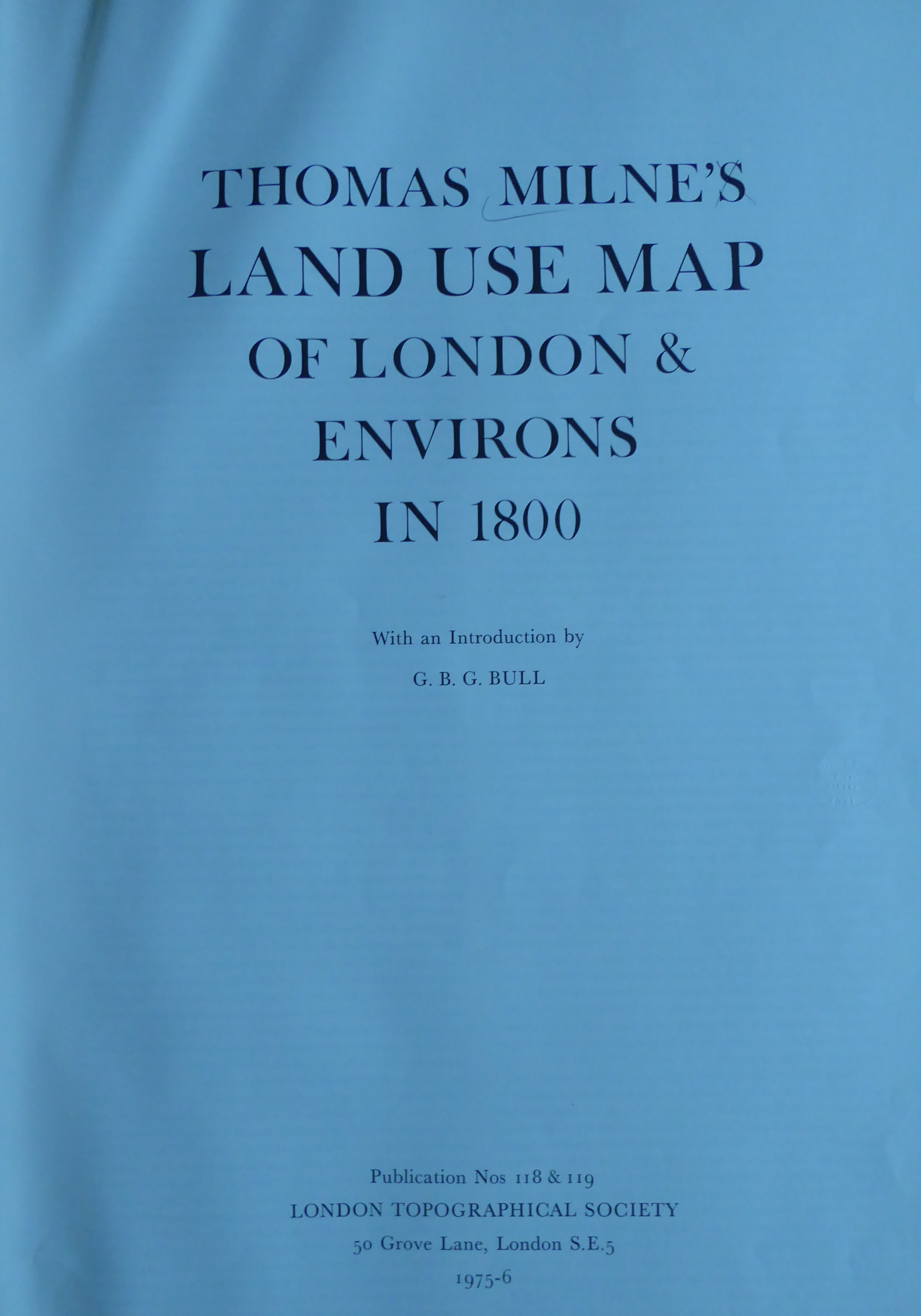
Thomas Milne’s Land Use Map of London and Environs in 1800 (LTS 118 & 119)
with an introduction by Dr G. B. G. Bull
Only sold together at a combined price of £17.75 (Member)/£23.60 (non-Member).
Please note that the dimensions listed on the page are that of the shipping tube. The item itself is 103x51cm.
Sorry, this publication is no longer for sale
£17.75
Thomas Milne’s map is hand-coloured and engraved map of the London area bearing the title “Milne’s Plan of the Cities of London and Westminster, circumjacent Towns and Parishes Etc. laid down from a Trigonometrical Survey taken in the Years 1795-9”. The map, on a scale of two inches to a mile, was engraved on six plates covering an area of about 260 square miles extending from the Harrow Weald to Woodford and from Hampton-on-Thames to Sundridge Park. The map records the use of each field by means of an overpainted colour.
