
New copies of the Society’s publications that are available to purchase are shown below, the oldest being Berkeley Square to Bond Street, The Early History of the Neighbourhood published in 1952.
Second-hand copies of some 1951-2001 publications are listed here. Please contact Roger Cline to ascertain availability and cost.
CUSTOMS REMINDER
The shipping charge does not include payment of any charges that may be applied by customs authorities. Payment of any such charge is the purchaser’s responsibility.
-
 Select options
This product has multiple variants. The options may be chosen on the product page
Select options
This product has multiple variants. The options may be chosen on the product page
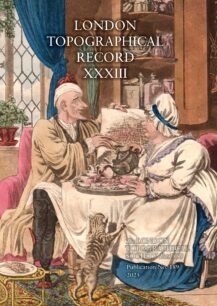
London Topographical Record, XXXIII
£22.50
-
 Read more
London: Prints & Drawings before 1800
£
-
 Select options
This product has multiple variants. The options may be chosen on the product page
Select options
This product has multiple variants. The options may be chosen on the product page
LTS Membership
£20
-
 Select options
This product has multiple variants. The options may be chosen on the product page
Select options
This product has multiple variants. The options may be chosen on the product page
LTS Membership Renewal
£20
-
Read more
Map of Chelsea by F. P. Thompson, 1836:
£
-
 Read more
Map of Elizabethan London, formerly attributed to Ralph Agas
£
-
 Select options
This product has multiple variants. The options may be chosen on the product page
Select options
This product has multiple variants. The options may be chosen on the product page
Map of the Geology and Contours of London and its Environs, by R. W. Mylne (1856)
£18.80
-
 Select options
This product has multiple variants. The options may be chosen on the product page
Select options
This product has multiple variants. The options may be chosen on the product page
Map of the Railways proposed by the Bills of the Session of 1863 in the Metropolis and its vicinity
£6.70
-
Read more
Matthew Merian’s View of London, 1638
£
-
 Read more
Morden and Lea’s Plan of London, 1682
£
-
 Select options
This product has multiple variants. The options may be chosen on the product page
Select options
This product has multiple variants. The options may be chosen on the product page
Nicholas Barbon: Developing London, 1667-1698
£27
-
Read more
Norden’s Maps of London and Westminster, 1593
£
-
 Select options
This product has multiple variants. The options may be chosen on the product page
Select options
This product has multiple variants. The options may be chosen on the product page
Old and New London Bridge, a selection of drawings 1833
£8.90
-
Read more
Plan of London, c. 1560,
£
-
Read more
Plan of Nevill's Alley, Fetter Lane, 1670
£
-
Read more
Plan of the Duke of Bedford's Estates, 1795, from Bloomsbury to the river
£
-
Read more
Plan of the Manor of Walworth and Parish of Newington, Surrey, 1681
£
-
Read more
Plan of the Parish of St Mary, Kensington, 1822
£
-
Read more
Plan of the precinct (eastern part) of the Hospital of St Katherine by the Tower, 1685
£
-
Read more
Plan of the precinct of St Bartholomew's Hospital, c. 1617
£
-
Read more
Porter’s ‘Newest and Exactest Mapp of London and Westminster’ c.1654
£
-
Read more
Roads out of London, from Ogilby’s “Britannia", 1675
£
-
 Select options
This product has multiple variants. The options may be chosen on the product page
Select options
This product has multiple variants. The options may be chosen on the product page
Robert Baker of Piccadilly Hall and his Heirs
£8.90
-
Read more
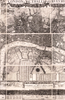
Rocque’s Survey of London
£
-
Read more
Rocque’s Survey of London
£
-
Read more
Rocque’s Survey of London
£
-
Read more
Rocque’s Survey of London
£
-
Read more
Rocque’s Survey of London
£
-
Read more
Rocque’s Survey of London, 1746
£
-
Read more
Rocque’s Survey of London, 1746
£