
New copies of the Society’s publications that are available to purchase are shown below, the oldest being Berkeley Square to Bond Street, The Early History of the Neighbourhood published in 1952.
Second-hand copies of some 1951-2001 publications are listed here. Please contact Roger Cline to ascertain availability and cost.
CUSTOMS REMINDER
The shipping charge does not include payment of any charges that may be applied by customs authorities. Payment of any such charge is the purchaser’s responsibility.
-
 Select options
This product has multiple variants. The options may be chosen on the product page
Select options
This product has multiple variants. The options may be chosen on the product page
The Banqueting House with the Whitehall and Holbein Gates c.1623
£6.70
-
 Select options
This product has multiple variants. The options may be chosen on the product page
Select options
This product has multiple variants. The options may be chosen on the product page
The Elizabethan Tower of London: the Haiward and Gascoyne Plan of 1597
£24.60
-
 Read more
The London County Council Bomb Damage Maps 1939–1945
£
-
 Select options
This product has multiple variants. The options may be chosen on the product page
Select options
This product has multiple variants. The options may be chosen on the product page
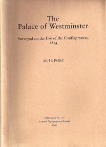
The Palace of Westminster – Surveyed on the Eve of Conflagration, 1834
£12.85
-
 Select options
This product has multiple variants. The options may be chosen on the product page
Select options
This product has multiple variants. The options may be chosen on the product page
The Whitehall Palace Plan of 1670
£13.60
-
 Select options
This product has multiple variants. The options may be chosen on the product page
Select options
This product has multiple variants. The options may be chosen on the product page
Thomas Milne's Land Use Map of London and Environs in 1800 (LTS 118 & 119)
£17.75
-
 Read more
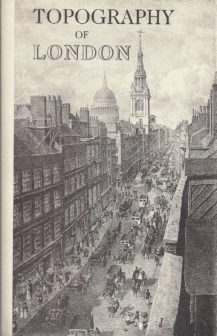
Topography of London, facsimile of John Lockie's Gazetteer
£
-
 Read more
Tudor London - a Map and a View
£
-
 Read more
Ward Maps of the City of London (LTS 154)
£
-
 Read more
Van den Wyngaerde’s View of London
£
-
 Read more
Visscher’s View of London, 1616
£